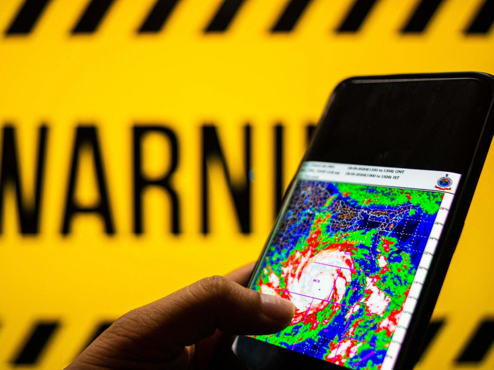
A cyclone warning has been issued with the Bureau of Meteorology maintaining there is a 40 per cent chance of a cyclone forming in the Gulf of Carpentaria and crossing the Northern Territory coast on Friday.
BOM spokesperson Shenagh Gamble said a topical low in the Gulf of Carpentaria was predicted to move slowly and develop further on Thursday and Friday with a moderate risk of it becoming a tropical cyclone.
The warning area runs from Port Roper, on the coast east of Ngukurr, and stretches to Burketown in Queensland. It includes Borroloola but not Ngukurr. The tropical cyclone forecast map shows the centre of the cyclone would travel over Borroloola.
“The tropical low is located south of Groote Eylandt and north east of Borroloola,” Ms Gamble said.
“At the moment it’s got around 55 km/h winds sustained with 85 km/h gusts and the system is in a fairly favourable environment.
“During today we expect it to be fairly slow moving, taking a bit of an easterly track before slowly heading south over Friday, and Friday evening and southwest towards the Northern Territory border.”
“We are still looking at a 40 to 45 per cent chance of this becoming a tropical cyclone, however we do take precautions when the system is in The Gulf of Carpentaria, because those conditions there are really favourable for system development.
“If this system does develop, it could develop quite quickly and it could develop into a stronger cyclone, even potentially develop into a category 2.”
The BOM’s tropical cyclone forecast said that even if the tropical low did not develop into a cyclone, parts of the Gulf of Carpentaria coast were likely to experience strong to gale force winds and heavy rainfall.
There is expected to be heavy rain as it moves generally west over central Northern Territory and then over northern Western Australia.
The cyclone map predicts the low will cross over Elliott, Kalkarindji and Lajamanu
The BOM said there is a low risk it could develop into a cyclone again over the water west of the Kimberley by next Wednesday.


0 Comments